Career-related Website Review/An Expert on your Field
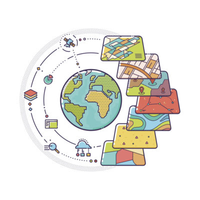 In the forestry engineering we use many geospatial data. These data are needed primarily to determine the work area in research. For example, the region of the country, commune or locality. To obtain this information there exists a web page that is called IDE (www.ide.cl) That means Geospatial Data Infrastructure.
The IDE of Chile is a network of public institutions working in a coordinated and collaborative. With the objective of making available to the whole community, geospatial information updated and reliable. That is useful for public and private management, also attending to the needs of citizens.
On this website you can find SHP layers near flora and fauna, limits and borders, climate and atmosphere, economy, geosciences, images and base maps, environment, health, transport, society, agriculture and livestock, energy networks and basic services, installations and buildings, location, directions and network Geodesic, planning and land register. You can also find official documents, magazine and newsletters.
However, keep in mind that this information may contain some errors because are obtained from different sources.
Do you think this useful platform?


A great page for download shape for geospacial analysis!
ResponderBorrar